

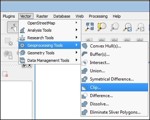
This section will focus on geoprocessing tools that use vector data layers as inputs to produce derived outputs. Geoprocessing tools are part of the fTools plugin that is automatically installed with QGIS and enabled by default. The tools can be found in the Geoprocessing Tools menu under Vector. The icons next to each tool in the menu give a good indication of what each tool does.
We will look at some commonly used spatial overlay tools such as clip, buffer, and dissolve. In the case of a simple analysis, these tools may serve to gather all the information that you need. In more complex scenarios, they may be part of a larger workflow.
Note
The tools covered in this chapter are also available via the Processing plugin, which is installed by default with QGIS Desktop. When enabled, this plugin turns on the Processing menu from which you can open the Processing Toolbox. The toolbox is a panel that docks to the right side of QGIS Desktop. The tools are organized...