


-
Book Overview & Buying
-
Table Of Contents

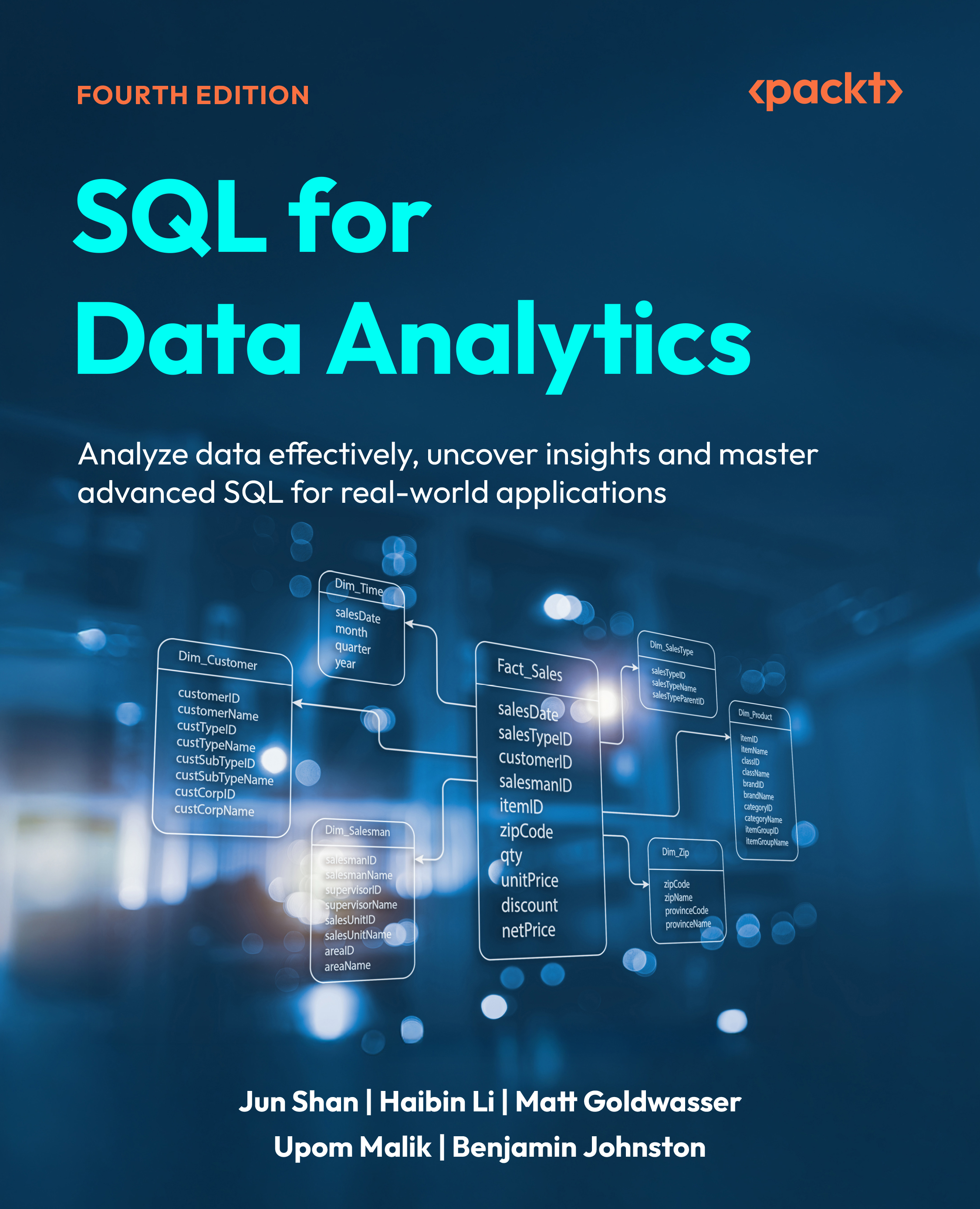
SQL for Data Analytics - Fourth Edition
By :


SQL for Data Analytics
By:
Overview of this book
SQL remains one of the most essential tools for modern data analysis and mastering it can set you apart in a competitive data landscape. This book helps you go beyond basic query writing to develop a deep, practical understanding of how SQL powers real-world decision-making.
SQL for Data Analytics, Fourth Edition, is for anyone who wants to go beyond basic SQL syntax and confidently analyze real-world data. Whether you're trying to make sense of production data for the first time or upgrading your analytics toolkit, this book gives you the skills to turn data into actionable outcomes.
You'll start by creating and managing structured databases before advancing to data retrieval, transformation, and summarization. From there, you’ll take on more complex tasks such as window functions, statistical operations, and analyzing geospatial, time-series, and text data. With hands-on exercises, case studies, and detailed guidance throughout, this book prepares you to apply SQL in everyday business contexts, whether you're cleaning data, building dashboards, or presenting findings to stakeholders. By the end, you'll have a powerful SQL toolkit that translates directly to the work analysts do every day.
*Email sign-up and proof of purchase required
Table of Contents (21 chapters)
Preface


Introduction to Data Management Systems
Creating Tables with Solid Structures
Exchanging Data Using COPY
Manipulating Data with Python
Part 2: Data Presentation and Manipulation
Presenting Data with SELECT
Transforming and Updating Data
Defining Datasets from Existing Datasets
Aggregating Data with GROUP BY
Inter-Row Operation with Window Functions
Part 3: Advanced Topics on Analytics
Performant SQL
Processing JSON and Arrays
Advanced Data Types: Date, Text, and Geospatial

Inferential Statistics Using SQL
A Case Study for Analytics Using SQL
Unlock Your Exclusive Benefits
Other Books You May Enjoy
Index


