Book Image

Building Mapping Applications with QGIS

By : Erik Westra
Book Image

Building Mapping Applications with QGIS

By: Erik Westra

Overview of this book

Table of Contents (16 chapters)
Building Mapping Applications with QGIS
Credits
About the Author
About the Reviewers
www.PacktPub.com
Preface
Free Chapter
1
Getting Started with QGIS
Index

Chapter 9. Completing the ForestTrails Application

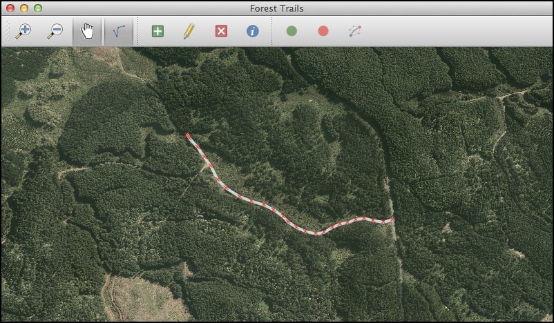
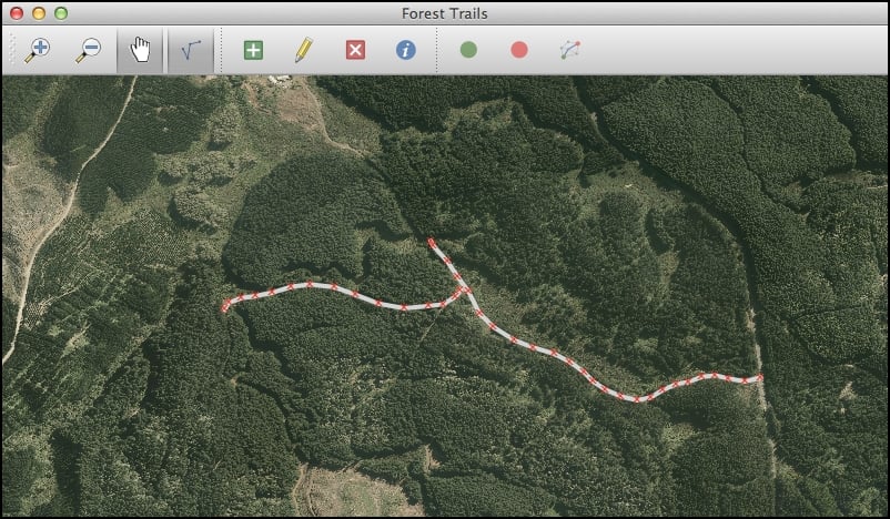
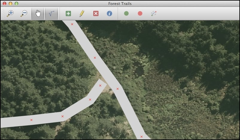
In this chapter, we will complete our implementation of the ForestTrails application that we started building in the preceding chapter. So far, our application displays the basemap and lets the user zoom and pan across the map. We've also implemented the track editing mode, though the user can't enter or edit track data yet.

In this chapter, we will add the following features to the ForestTrails application:

  • Map tools that let the user add, edit, and delete tracks

  • A toolbar action that lets the user view and edit the attributes for a track

  • The Set Start Point and Set End Point actions

  • Calculating and displaying the shortest available path between the two selected points using a memory-based map layer