Sign In Start Free Trial
Account

Add to playlist

Create a Playlist

Modal Close icon
You need to login to use this feature.
  • Book Overview & Buying Geospatial Data Analytics on AWS
  • Table Of Contents Toc
Geospatial Data Analytics on AWS

Geospatial Data Analytics on AWS

By : Scott Bateman, Janahan Gnanachandran, Jeff DeMuth
4.9 (11)
close
close
Geospatial Data Analytics on AWS

Geospatial Data Analytics on AWS

4.9 (11)
By: Scott Bateman, Janahan Gnanachandran, Jeff DeMuth

Overview of this book

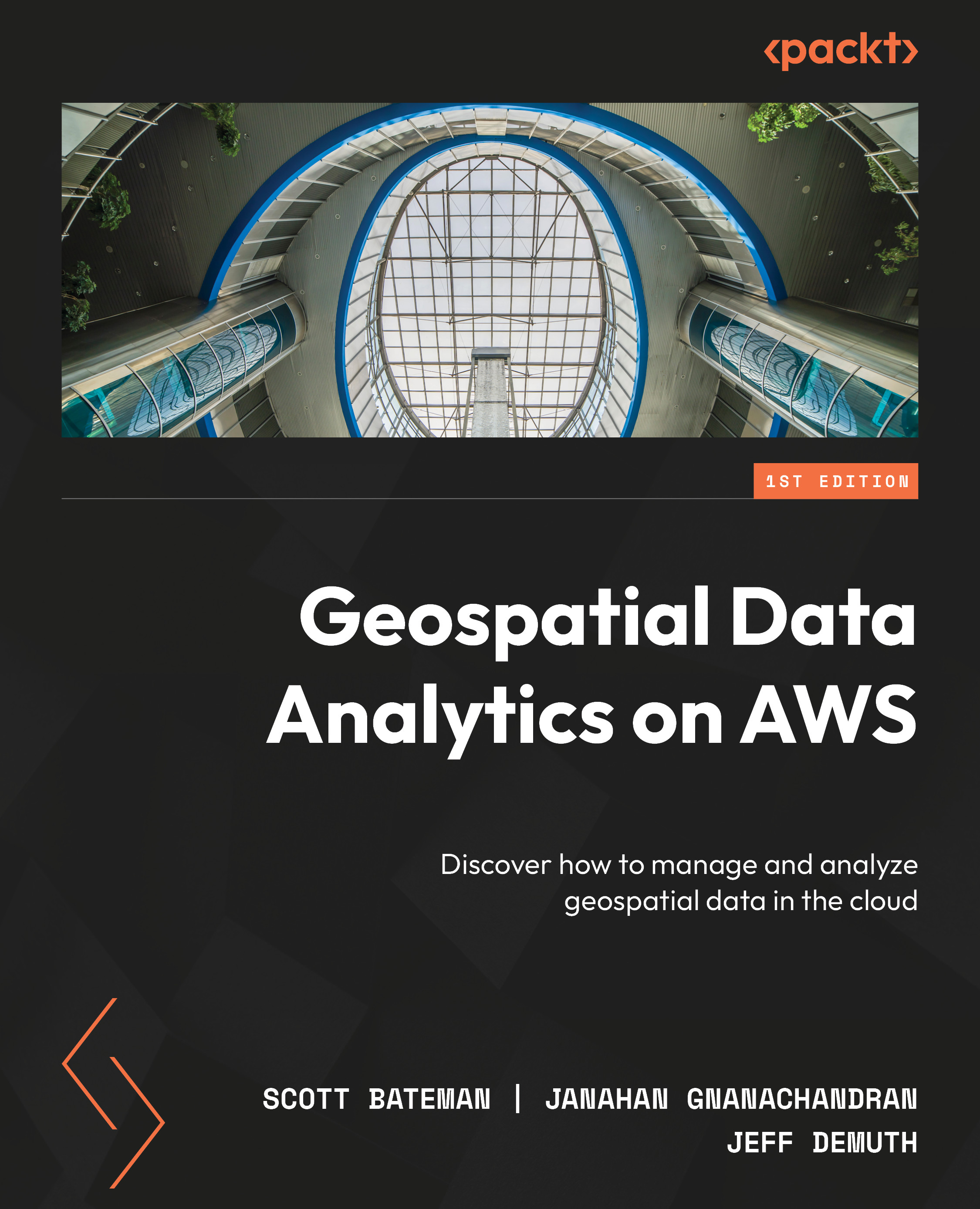
Managing geospatial data and building location-based applications in the cloud can be a daunting task. This comprehensive guide helps you overcome this challenge by presenting the concept of working with geospatial data in the cloud in an easy-to-understand way, along with teaching you how to design and build data lake architecture in AWS for geospatial data. You’ll begin by exploring the use of AWS databases like Redshift and Aurora PostgreSQL for storing and analyzing geospatial data. Next, you’ll leverage services such as DynamoDB and Athena, which offer powerful built-in geospatial functions for indexing and querying geospatial data. The book is filled with practical examples to illustrate the benefits of managing geospatial data in the cloud. As you advance, you’ll discover how to analyze and visualize data using Python and R, and utilize QuickSight to share derived insights. The concluding chapters explore the integration of commonly used platforms like Open Data on AWS, OpenStreetMap, and ArcGIS with AWS to enable you to optimize efficiency and provide a supportive community for continuous learning. By the end of this book, you’ll have the necessary tools and expertise to build and manage your own geospatial data lake on AWS, along with the knowledge needed to tackle geospatial data management challenges and make the most of AWS services.
Table of Contents (23 chapters)
close
close
1
Part 1: Introduction to the Geospatial Data Ecosystem
4
Part 2: Geospatial Data Lakes using Modern Data Architecture
10
Part 3: Analyzing and Visualizing Geospatial Data in AWS
16
Part 4: Accessing Open Source and Commercial Platforms and Services

Introduction to cloud computing and AWS

You are most likely familiar with the benefits that geospatial analysis can provide. Governmental entities, corporations, and other organizations routinely solve complex, location-based problems with the help of geospatial computing. While paper maps are still around, most use cases for geospatial data have evolved to live in the digital world. We can now create maps faster and draw more geographical insights from data than at any point in history. This phenomenon has been made possible by blending the expertise of geospatial practitioners with the power of Geographical Information Systems (GIS). Critical thinking and higher-order analysis can be done by humans while computers handle the monotonous data processing and rendering tasks. As the geospatial community continues to refine the balance of which jobs require manual effort and which can be handled by computers, we are collectively improving our ability to understand our world.

Geospatial computing has been around for decades, but the last 10 years have seen a dramatic shift in the capabilities and computing power available to practitioners. The emergence of the cloud as a fundamental building block of technical systems has offered needle-moving opportunities in compute, storage, and analytical capabilities. In addition to a revolution in the infrastructure behind GIS systems, the cloud has expanded the optionality in every layer of the technical stack. Common problems such as running out of disk space, long durations of geospatial processing jobs, limited data availability, and difficult collaboration across teams can be things of the past. AWS provides solutions to these problems and more, and in this book, we will describe, dissect, and provide examples of how you can do this for your organization.

Cloud computing provides the ability to rapidly experiment with new tools and processing techniques that would never be possible using a fixed set of compute resources. Not only are new capabilities available and continually improving but your team will also have more time to learn and use these new technologies with the time saved in creating, configuring, and maintaining the environment. The undifferenced heavy lifting of managing geospatial storage devices, application servers, geodatabases, and data flows can be replaced with time spent analyzing, understanding, and visualizing the data. Traditional this or that technical trade-off decisions are no longer binary proposals. Your organization can use the right tool for each job, and blend as many tools and features into your environment as is appropriate for your requirements. By paying for the precise amount of resources you use in AWS, it is possible to break free from restrictive, punitive, and time-limiting licensing situations. In some cases, the amount of an AWS compute resource you use is measured and charged down to the millisecond, so you literally don’t pay for a second of unused time. If a team infrequently needs to leverage a capability, such as a monthly data processing job, this can result in substantial cost savings by eliminating idle virtual machines and supporting technical resources. If cost savings are not your top concern, the same proportion of your budget can be dedicated to more capable hardware that delivers dramatically reduced timeframes compared to limited compute environments.

The global infrastructure of AWS allows you to position data in the best location to minimize latency, providing the best possible performance. Powerful replication and caching technologies can be used to minimize wait time and allow robust cataloging and characterization of your geospatial assets. The global flexibility of your GIS environment is further enabled with the use of innovative end user compute options. Virtual desktop services in AWS allow organizations to keep the geospatial processing close to the data for maximum performance, even if the user is geographically distanced from both. AWS and the cloud have continued to evolve and provide never-before-seen capabilities in geospatial power and flexibility. Over the course of this book, we will examine what these concepts are, how they work, and how you can put them to work in your environment.

Now that we have learned the story of cloud computing on AWS, let’s check out how we can implement geospatial data there.

CONTINUE READING
83
Tech Concepts
36
Programming languages
73
Tech Tools
Icon Unlimited access to the largest independent learning library in tech of over 8,000 expert-authored tech books and videos.
Icon Innovative learning tools, including AI book assistants, code context explainers, and text-to-speech.
Icon 50+ new titles added per month and exclusive early access to books as they are being written.
Geospatial Data Analytics on AWS
notes
bookmark Notes and Bookmarks search Search in title playlist Add to playlist font-size Font size

Change the font size

margin-width Margin width

Change margin width

day-mode Day/Sepia/Night Modes

Change background colour

Close icon Search
Country selected

Close icon Your notes and bookmarks

Confirmation

Modal Close icon
claim successful

Buy this book with your credits?

Modal Close icon
Are you sure you want to buy this book with one of your credits?
Close
YES, BUY

Submit Your Feedback

Modal Close icon
Modal Close icon
Modal Close icon