Book Image

Mastering Geospatial Development with QGIS 3.x - Third Edition

By : Shammunul Islam, Simon Miles, Kurt Menke, GISP, Richard Smith Jr., GISP, Luigi Pirelli, John Van Hoesen, GISP
Book Image

Mastering Geospatial Development with QGIS 3.x - Third Edition

By: Shammunul Islam, Simon Miles, Kurt Menke, GISP, Richard Smith Jr., GISP, Luigi Pirelli, John Van Hoesen, GISP

Overview of this book

QGIS is an open source solution to GIS and widely used by GIS professionals all over the world. It is the leading alternative to proprietary GIS software. Although QGIS is described as intuitive, it is also, by default, complex. Knowing which tools to use and how to apply them is essential to producing valuable deliverables on time. Starting with a refresher on the QGIS basics and getting you acquainted with the latest QGIS 3.6 updates, this book will take you all the way through to teaching you how to create a spatial database and a GeoPackage. Next, you will learn how to style raster and vector data by choosing and managing different colors. The book will then focus on processing raster and vector data. You will be then taught advanced applications, such as creating and editing vector data. Along with that, you will also learn about the newly updated Processing Toolbox, which will help you develop the advanced data visualizations. The book will then explain to you the graphic modeler, how to create QGIS plugins with PyQGIS, and how to integrate Python analysis scripts with QGIS. By the end of the book, you will understand how to work with all aspects of QGIS and will be ready to use it for any type of GIS work.
Table of Contents (18 chapters)
Title Page
Copyright and Credits
About Packt
Contributors
Preface
Index

Merging vectors


The Merge Vectors tool does exactly what it says to does—merge vector files. The merge tool allows for a large range of vector file types to be merged. Typically, however, this will be shapefiles. The input vectors must be in a common coordinate reference system and be of the same geometry type (point, line, or polygon), and should contain common attributes, for example, a reference number or type value. In these cases, the data may need to be merged to form a seamless layer covering the study area.

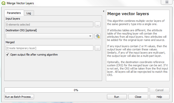
To access the tool, go to Vector, then Data Management Tools, and finally Merge Vector Layers. In the Merge Vector Layers window, set the Input layers to be merged by clicking on the browse button at the end of the Input layers field:

If you have vector layers already loaded in QGIS, these will be displayed in the next window. You can either choose to merge specific layers by individually clicking on them or select all. Alternatively, you can navigate to where the vector data that...