


R is an open source programming language and software used for statistical computing and graphics, which has benefited greatly from the continuous contributions of its user community. Graphics in R are of very high quality, and, although it was not primarily developed for GIS purposes, with the development of packages such as ggmap, tmap, sf, raster, sp, and so on, R can work as a GIS environment itself. Furthermore, R codes can be written inside QGIS and we can also work on QGIS inside R using the RQGIS package.
We will now install R with the help of snapshots of each of the step-by-step instructions provided. The following steps have been implemented in Microsoft Windows and should also be applicable to Mac or other platforms with a little tweaking. There are no specific requirements for computer configuration, but any modern desktop or laptop will be sufficient to run the examples provided in this book.
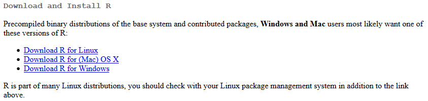
Download R software from the following site and click on download R: https://www.r-project.org/.
Now we need to select a CRAN mirror; we will use the first link to download R.
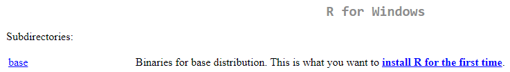
Now we will need to click on Download R for Windows:
Click install R for the first time, as we can see from the following screenshot:
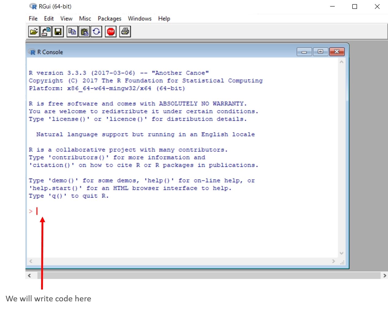
Now we just need to double-click the .exe file that we have downloaded and continue to click to accept all the defaults to complete the download of R. After we have installed R, we need to open it, and it will look similar to the following screenshot. For this installation process, a 64-bit computer is being used, but if you are using a 32-bit computer, your R windows will reflect that:
We are finally ready to rock and roll using R. But before that, we need a little bit more familiarity with R, or perhaps we need a refresher.


