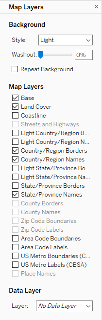
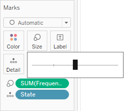
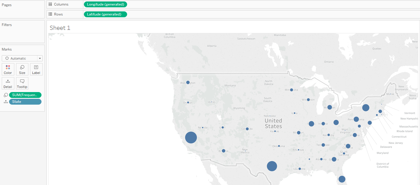
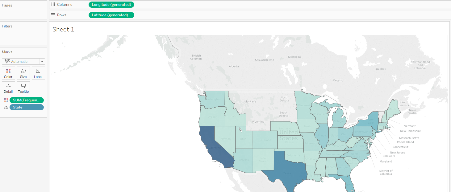
Maps are a great way to present geographical data, as they are intuitive and easy to read. In this recipe, we will show name frequency by state, but this time using a map. This recipe will cover two frequently used ways to present data on a map: creating a map with circles of different sizes, and creating a filled map with a color gradient.
-
Book Overview & Buying
-
Table Of Contents

Tableau 2019.x Cookbook
By :
Tableau 2019.x Cookbook
By:
Overview of this book
Tableau has been one of the most popular business intelligence solutions in recent times, thanks to its powerful and interactive data visualization capabilities. Tableau 2019.x Cookbook is full of useful recipes from industry experts, who will help you master Tableau skills and learn each aspect of Tableau's ecosystem.
This book is enriched with features such as Tableau extracts, Tableau advanced calculations, geospatial analysis, and building dashboards. It will guide you with exciting data manipulation, storytelling, advanced filtering, expert visualization, and forecasting techniques using real-world examples. From basic functionalities of Tableau to complex deployment on Linux, you will cover it all. Moreover, you will learn advanced features of Tableau using R, Python, and various APIs. You will learn how to prepare data for analysis using the latest Tableau Prep. In the concluding chapters, you will learn how Tableau fits the modern world of analytics and works with modern data platforms such as Snowflake and Redshift. In addition, you will learn about the best practices of integrating Tableau with ETL using Matillion ETL.
By the end of the book, you will be ready to tackle business intelligence challenges using Tableau's features.
Table of Contents (18 chapters)
Preface
 Free Chapter
Getting Started with Tableau Software
Data Manipulation
Tableau Extracts
Tableau Desktop Advanced Calculations
Tableau Desktop Advanced Filtering
Building Dashboards
Telling a Story with Tableau
Tableau Visualization
Tableau Advanced Visualization
Tableau for Big Data
Forecasting with Tableau
Advanced Analytics with Tableau
Deploy Tableau Server
Tableau Troubleshooting
Preparing Data for Analysis with Tableau Prep
ETL Best Practices for Tableau
Other Books You May Enjoy
 ) next to the dimension name in the